
Mountain Trails [#08] - Barania Góra
![Mountain Trails [#08] - Barania Góra](/images/Gorskie_Szlaki/Barania_Góra/IMG_20200824_101958-01_Copy.jpeg)
Barania Góra
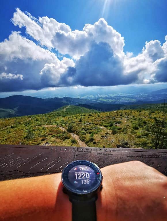
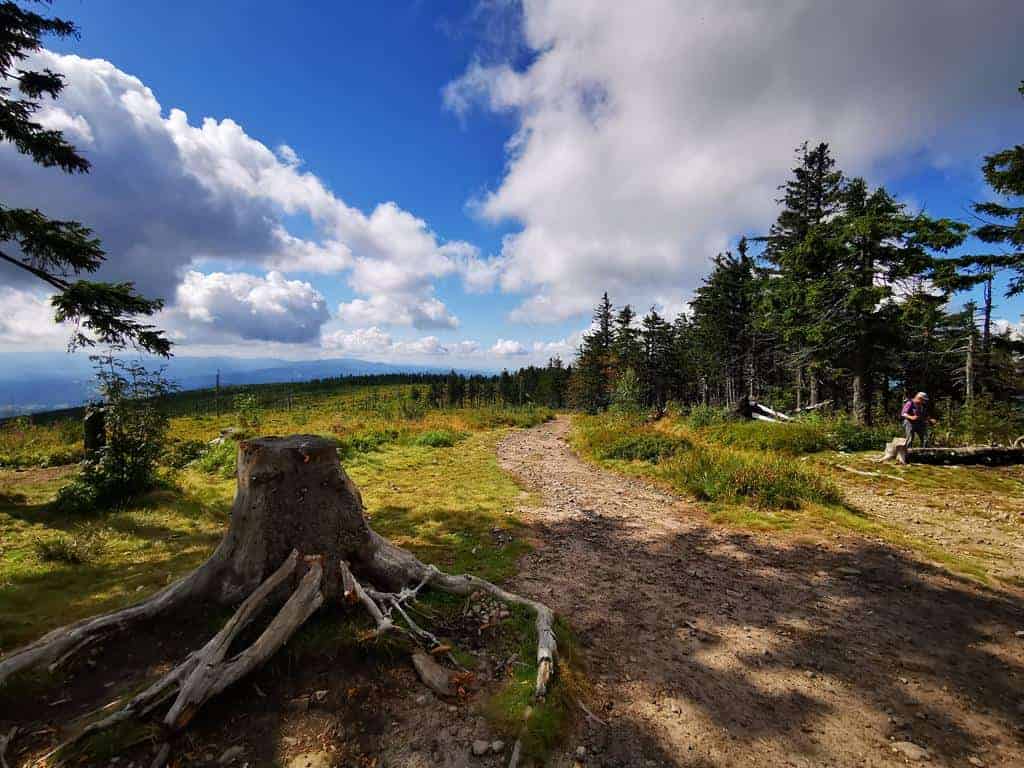
When visiting one of the best-known tourist towns in the Beskids – Wisła, it is worth heading to the nearby second-highest peak of the Silesian Beskids, Barania Góra, at 1,220 m a.s.l. Many interesting trails lead to this dome-shaped peak, which is also part of the Main Beskid Trail. By conquering it, we can answer the question of where the source of Poland’s longest river lies.
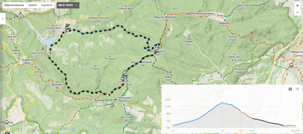
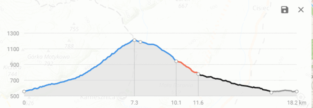
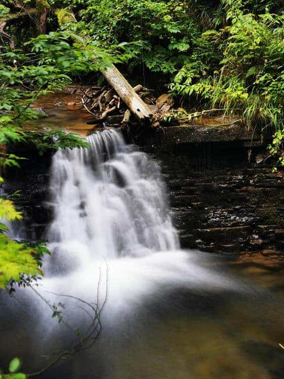
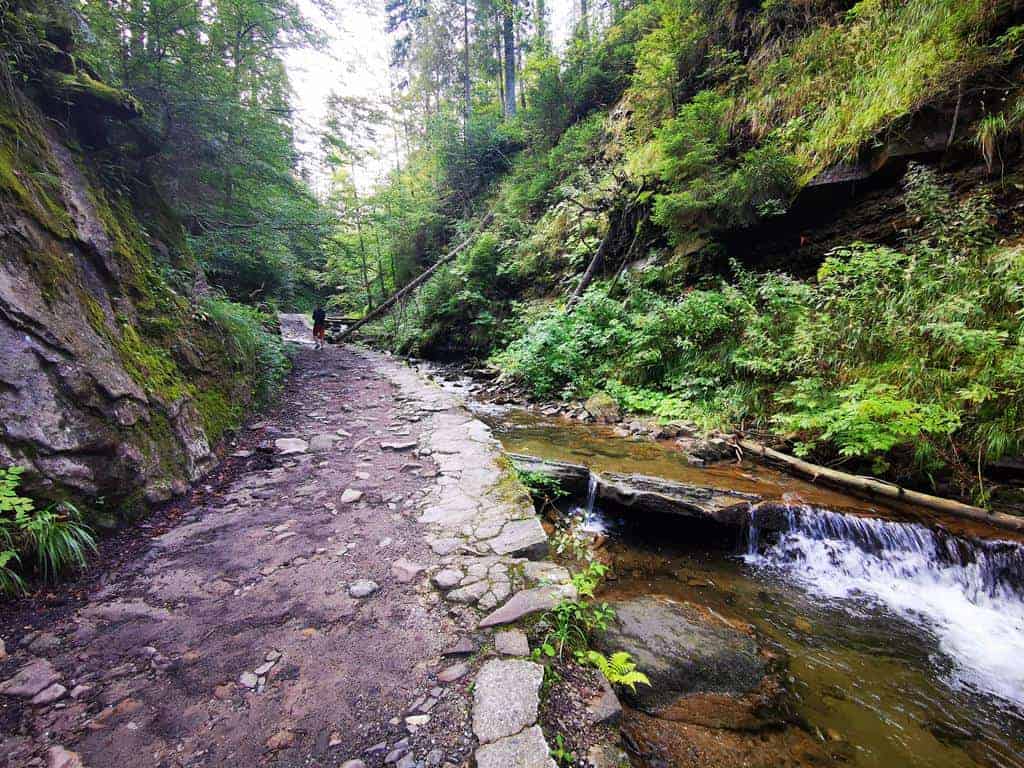
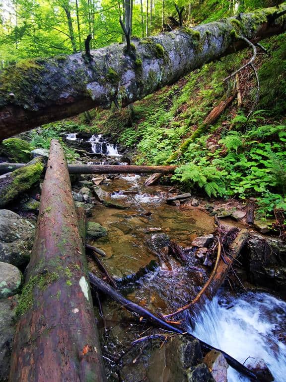
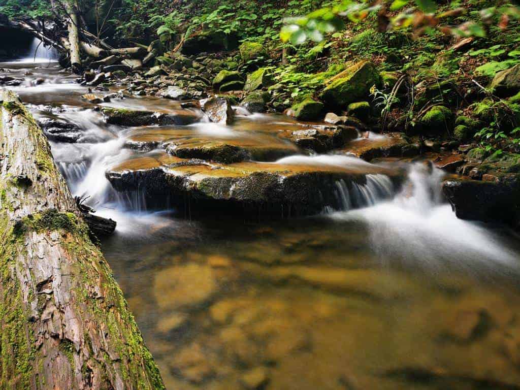
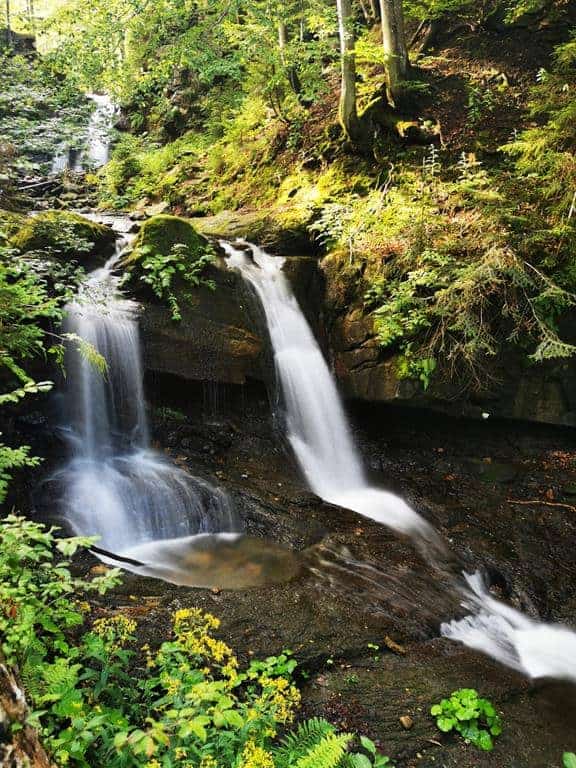
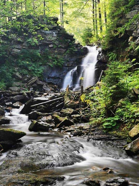
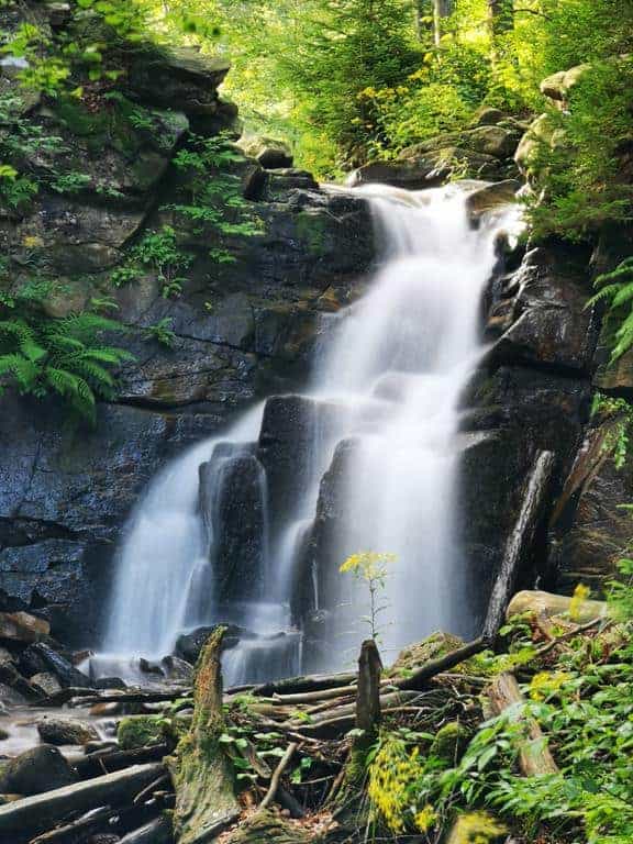
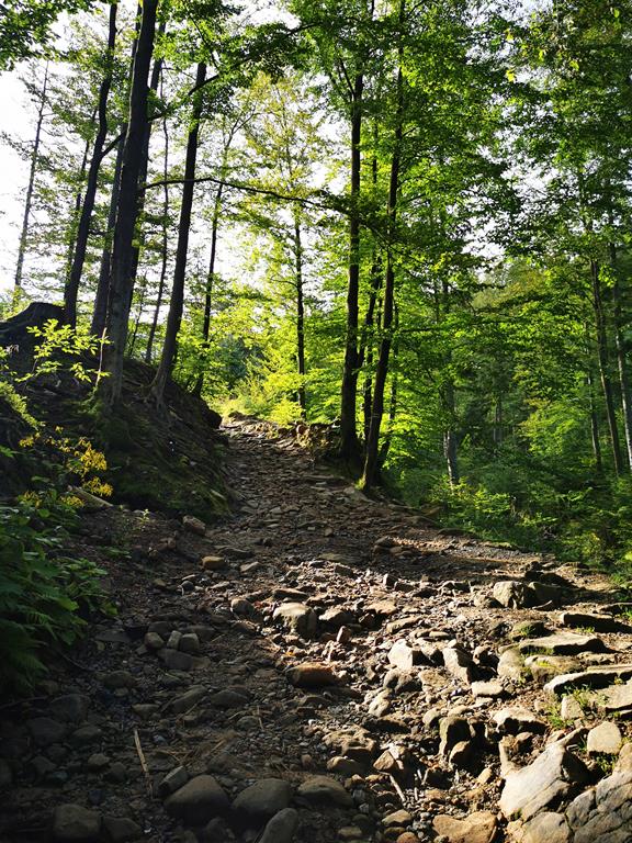
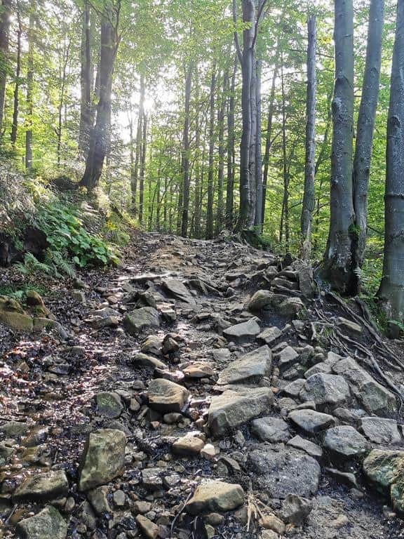
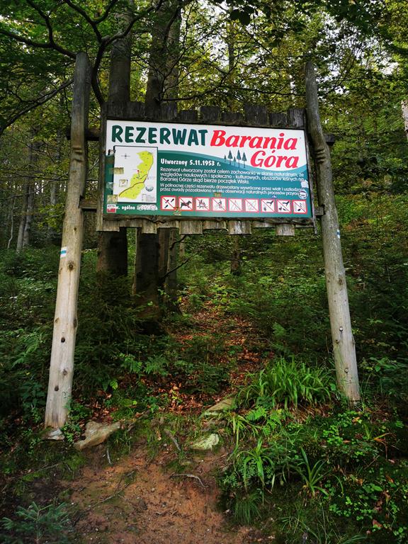
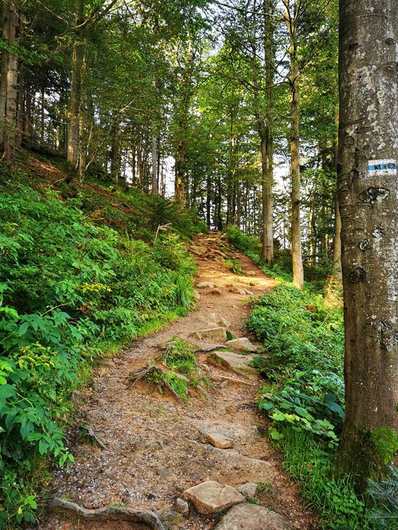
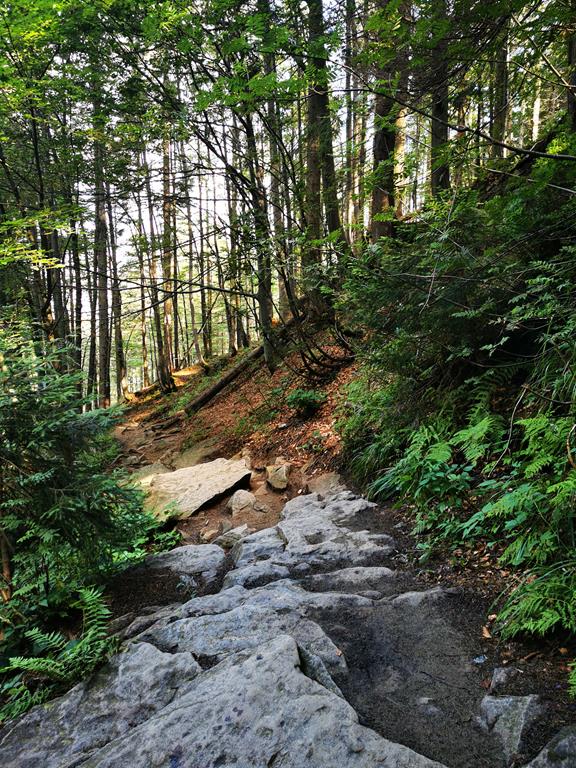
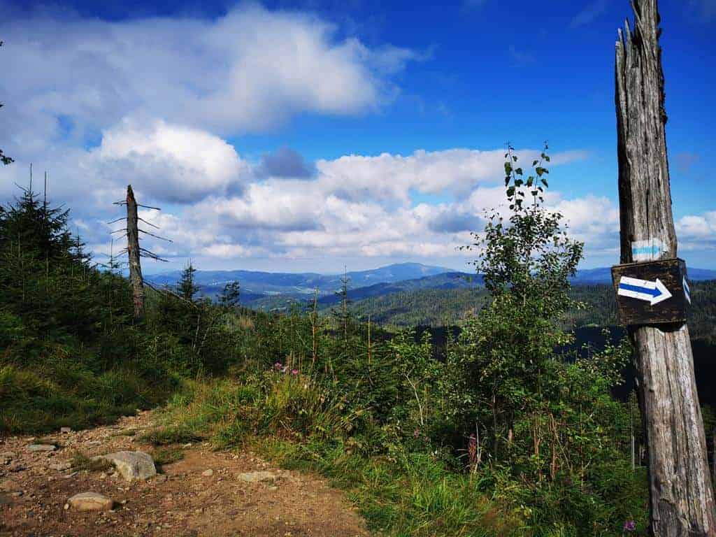
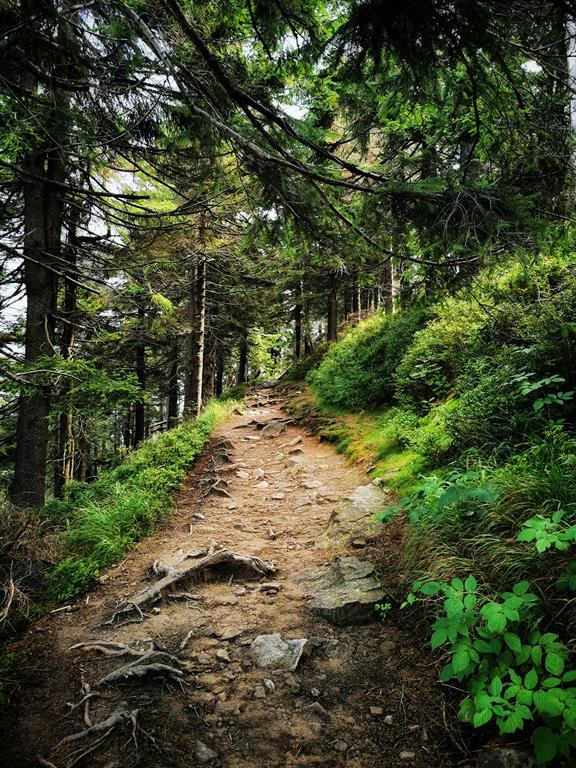
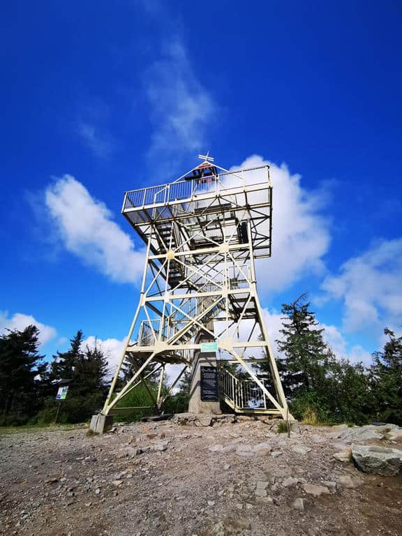
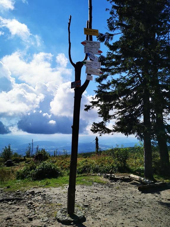
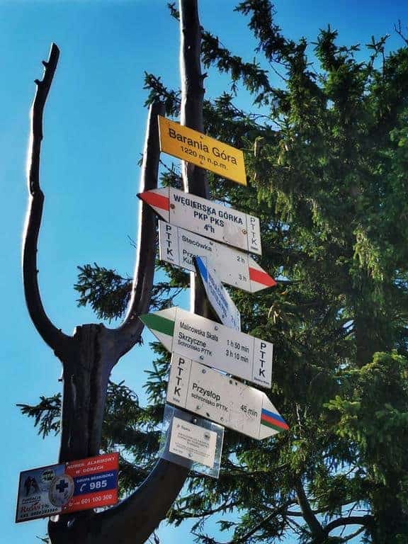
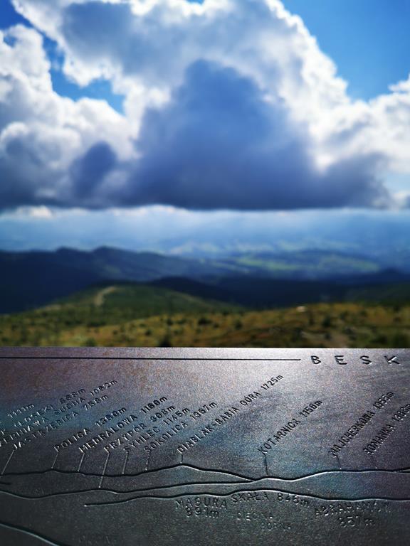
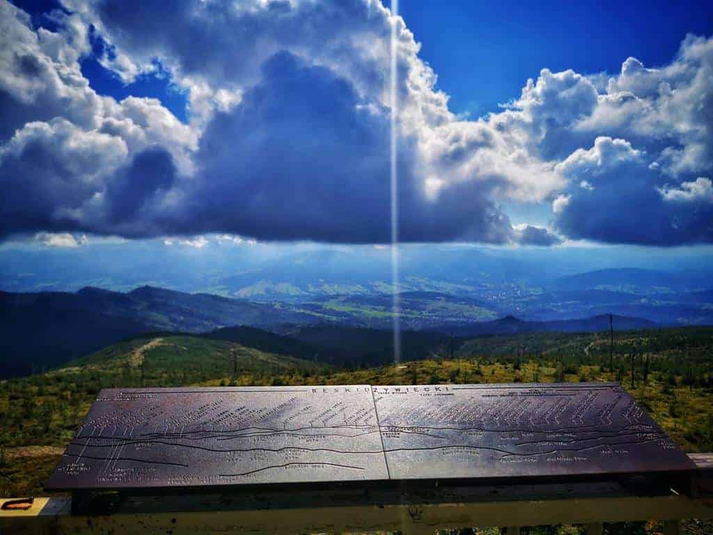
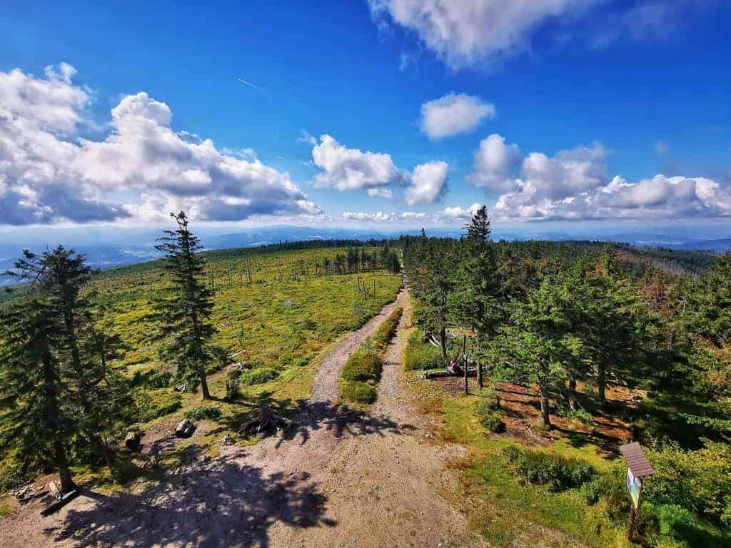
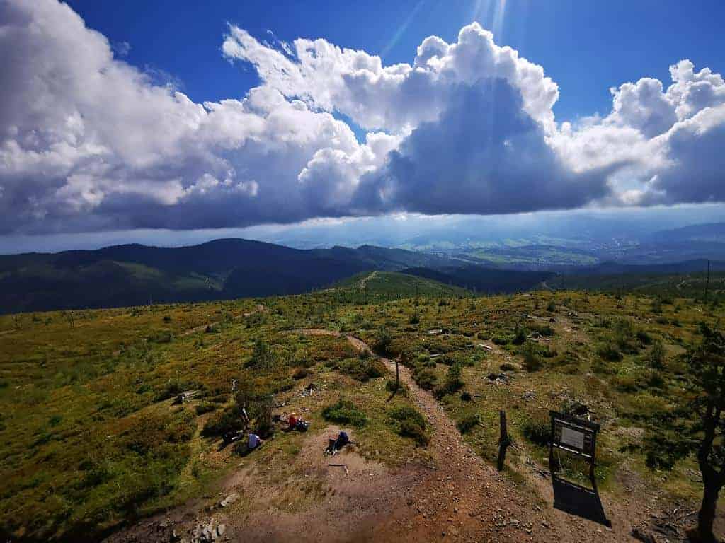
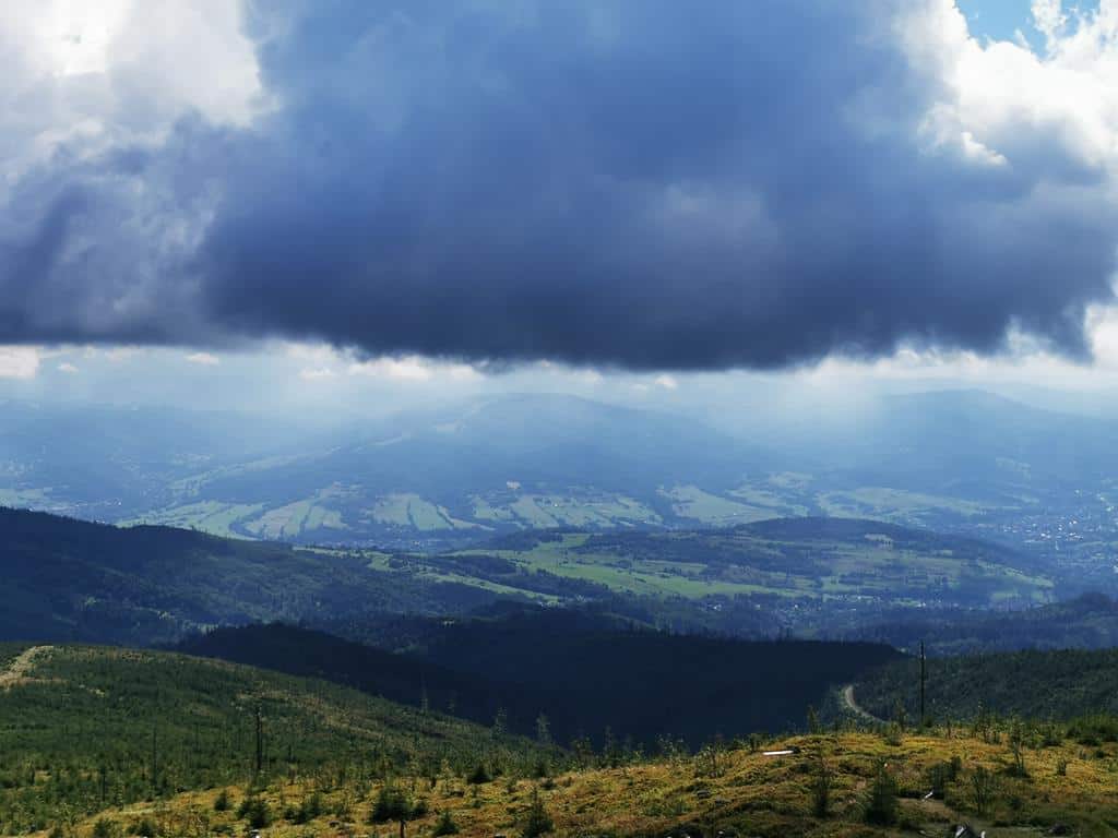
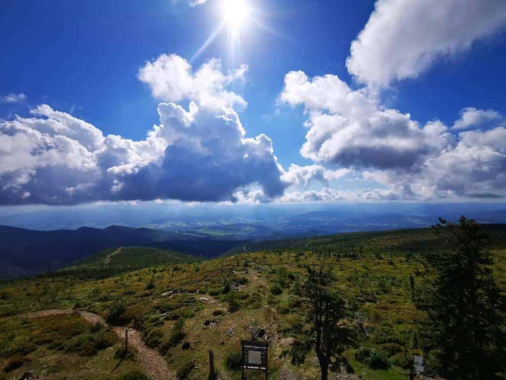
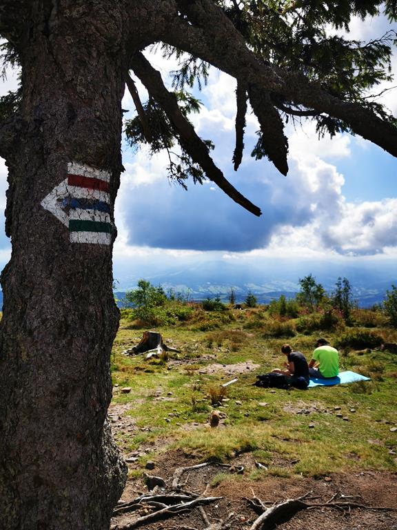
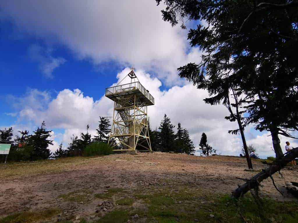
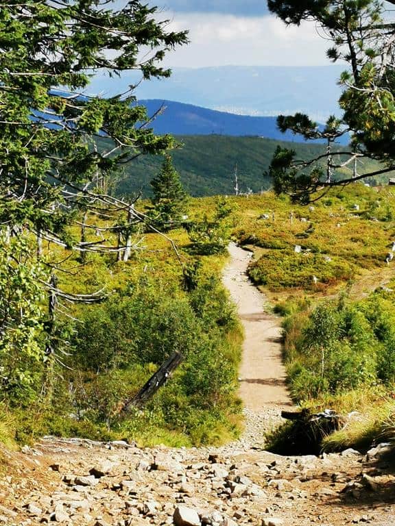
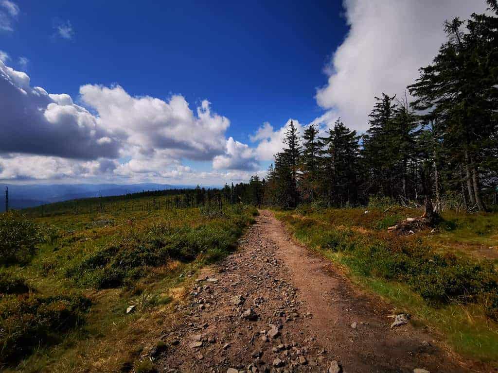
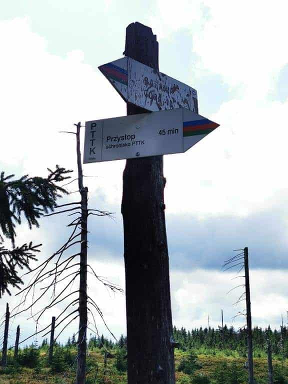
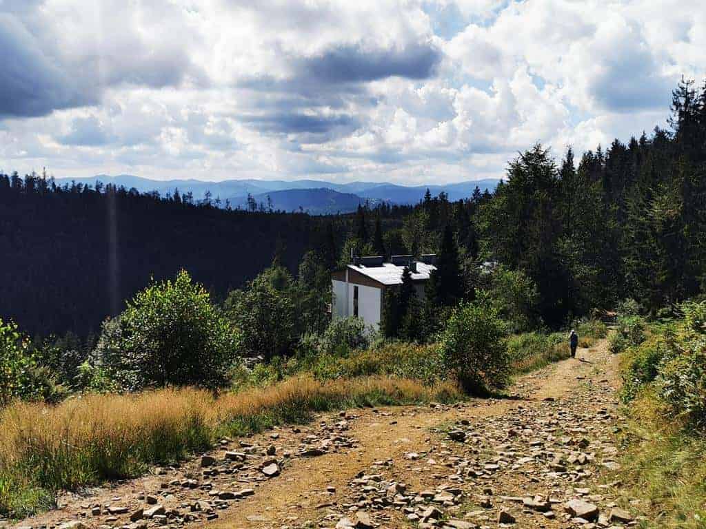
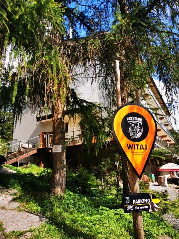
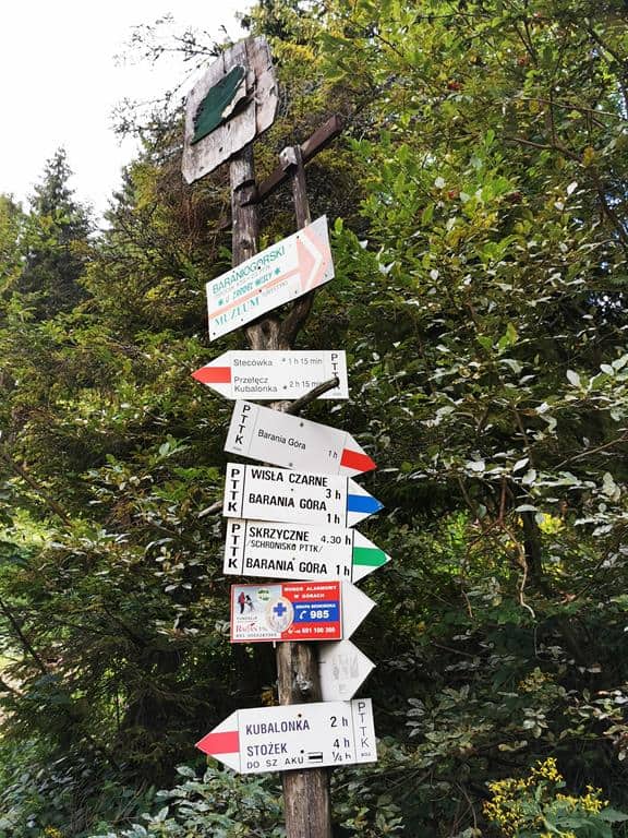
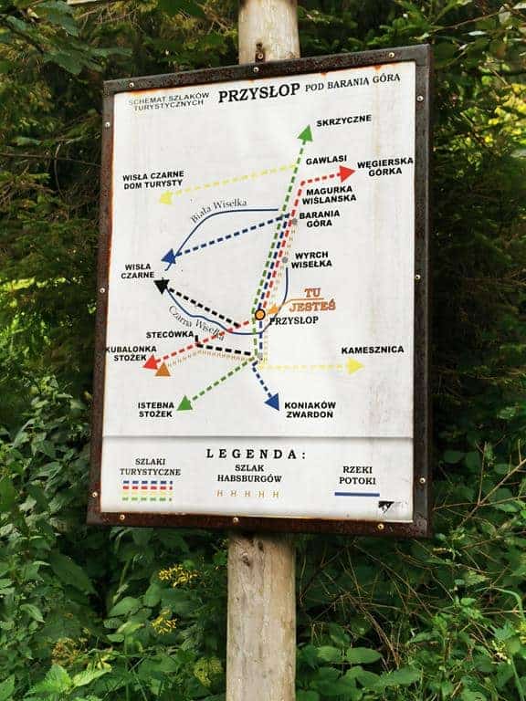
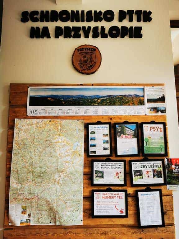
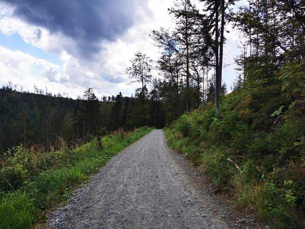
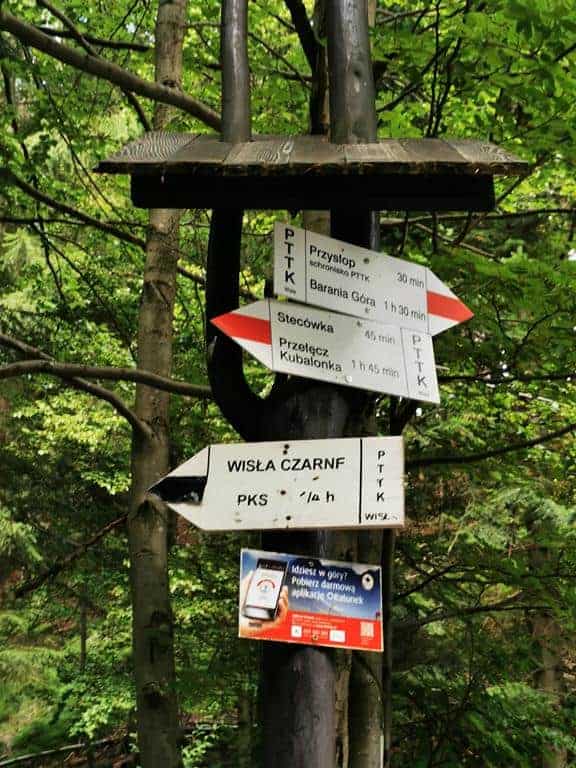
One of the more pleasant and moderately short trails is this loop route, beginning and ending in the Wisła Czarne district. We begin our hike by the Volunteer Fire Service building. Nearby, we will find a paid car park and a bus stop. We cover the first gentle kilometres of the blue trail along an asphalt road, before turning right after fifty minutes onto a forest path. This section of the trail is exceptionally beautiful: we pass the Rodło Cascades – the waters of several waterfalls and river steps on the Biała Wisełka, the very same stream that gives rise to the Wisła. As we gain more elevation, we enter the Barania Góra Nature Reserve, where we will find numerous educational information boards. After two hours of walking, the summit and its observation tower come into view. The latter is clearly visible from a distance, as the peak is not forested. From the platform, we can see the Silesian Beskids, Little Beskids, Żywiec Beskids and the Tatras as if on the palm of our hand. Once we have enjoyed the views, we continue along the blue trail towards the PTTK Przysłop Mountain Hut below Barania Góra, just fifty minutes’ walk downhill. It is worth taking a short break at the hut, which serves delicious food. If we are lucky, we may still catch the breakfast menu, with delicious savoury and sweet omelettes. The blueberry cake, tea with honey and raspberry juice are also worth recommending. Near the hut, we will find the Barania Góra Centre for the History of Mountain Tourism. After a short rest, we set off downhill with renewed energy along the red trail, which we soon leave in favour of the black trail. This one-and-a-half-hour section of the hike follows an asphalt road through the forest. Once again, we walk along a stream, this time the waters of the Czarna Wisełka – the second source of the Wisła. At the end of the black trail, we reach the main road. Here we have two options: wait for a bus to our starting point, Wisła Czarne, or walk three kilometres along the main road, slightly brightened by glimpses of the surface of Lake Czerniańskie visible through the gaps between the trees.
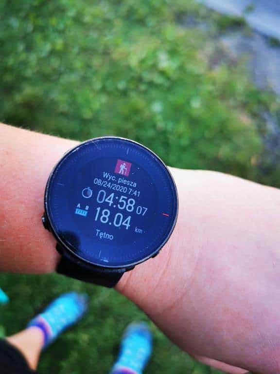
- Walking time: approximately 6 hours, depending on the hiker’s fitness,
- Blue, red and black trails,
- Total ascent: 740 metres,
- Highest point: 1,220 m a.s.l.,
- Trail length: 18 kilometres,
- No difficulties or artificial aids; the trail is well marked.
The hike to the summit of Barania Góra is very pleasant and also highly varied in terms of nature. It is well worth undertaking, if only to see where the Wisła River begins.
Photos and text by: Ewa Bandyk