
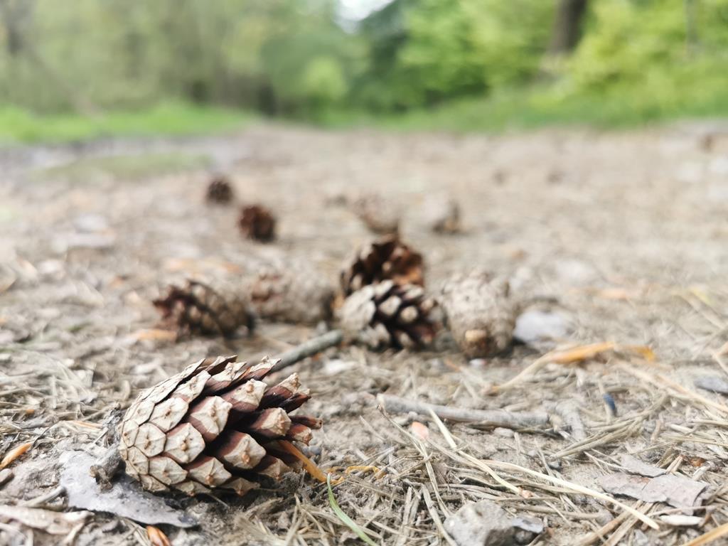
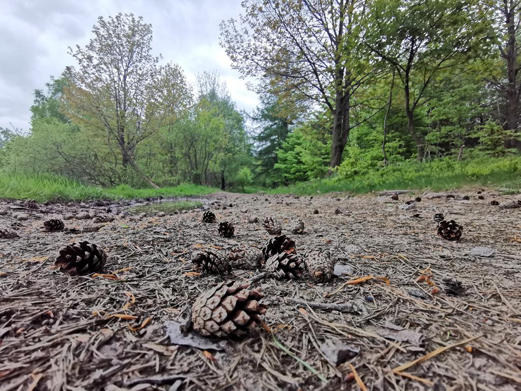
Mountain Trails [#17] - Czupel
![Mountain Trails [#17] - Czupel](/images/Gorskie_Szlaki/Czupel/IMG_20210522_105643_Copy.jpg)
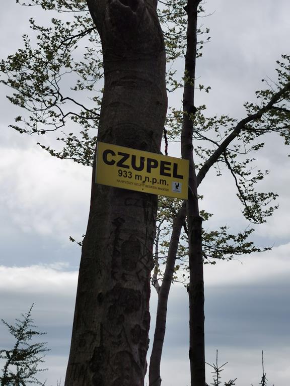
Those who have conquered the Polish Crown Mountains can effortlessly name the 28 peaks that belong to it. The highest peaks of various ranges can sometimes be quite a challenge, even for the most seasoned trekking enthusiasts. Surprisingly, even those below 1000 m above sea level can pose a significant challenge, especially if we choose a rather steep approach to conquer them. This is the case with the highest peak of the Little Beskid, which is Czupel, standing at 930 m above sea level.
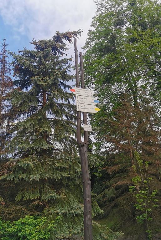
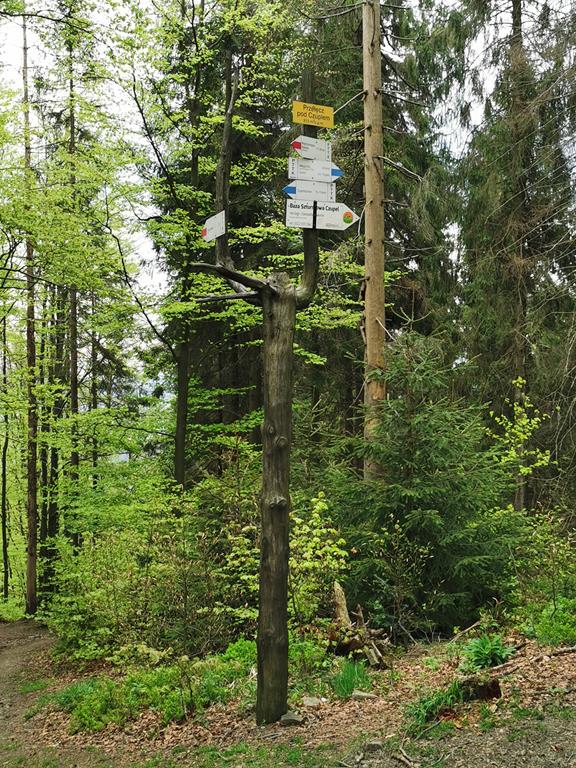
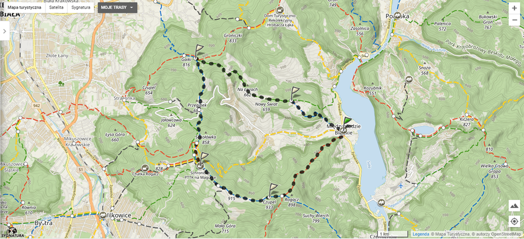
A convenient option for approaching Czupel is the loop starting with the red trail from Międzybrodzie Bialskie. Just before reaching the summit, we turn onto the blue trail, and from Czupel, we continue along it, passing through the PTTK Shelter at Magurka Wilkowicka, until we reach the peak of Gaiki. There, we take the green trail, which leads us to the fork at Nowy Świat, where we return to the blue trail and follow it back to our starting point.
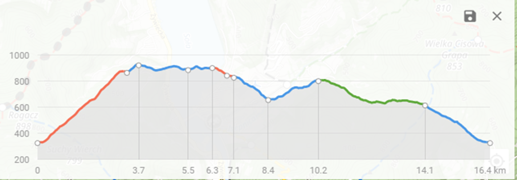
- The estimated walking time is around 6 hours, depending on the tourist's fitness level,
- Total elevation gain: 884 metres,
- Highest point: 930 metres above sea level,
- Trail length: 17 kilometres
- No difficulties, no artificial aids.
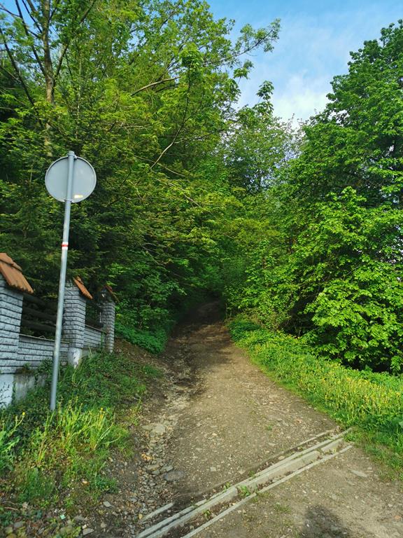
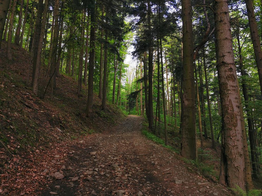
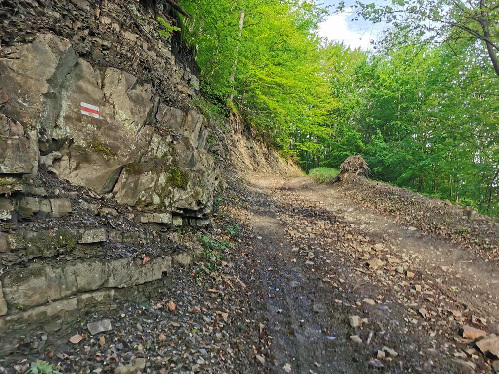
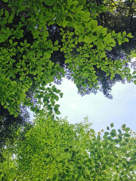
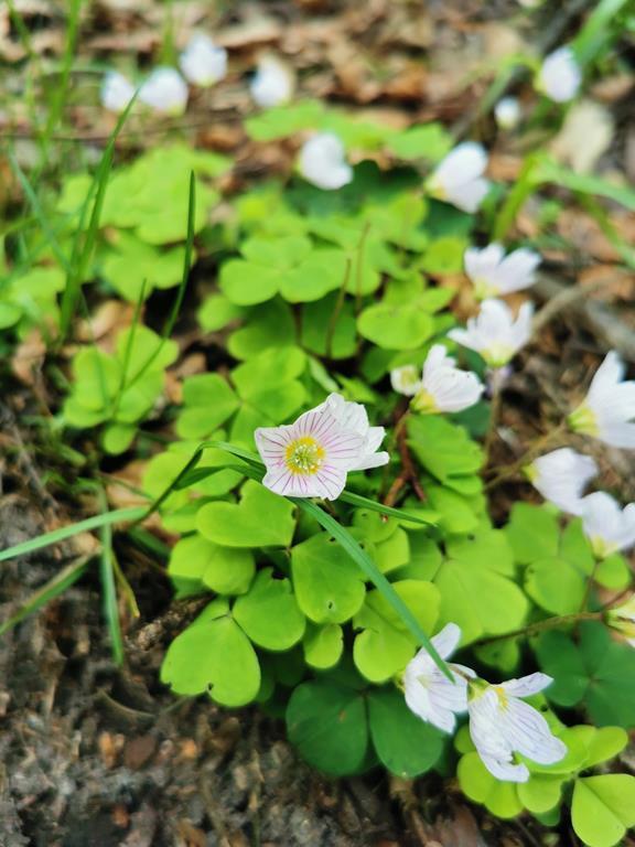
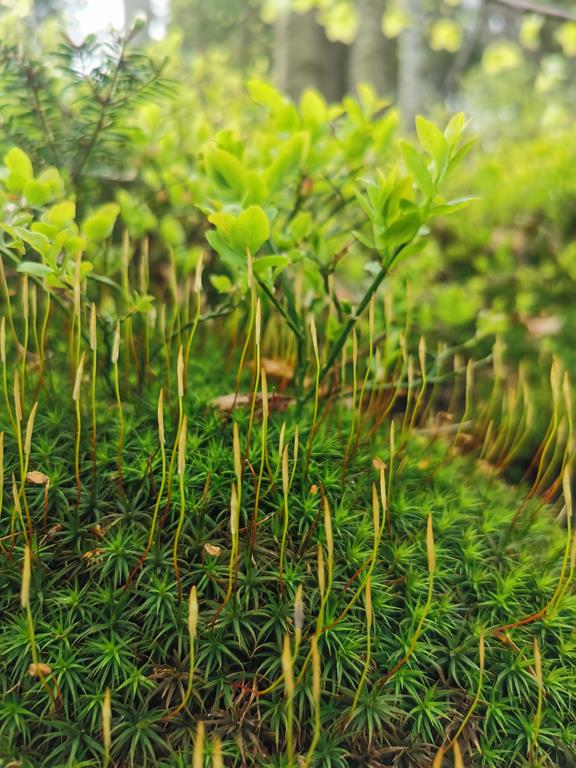
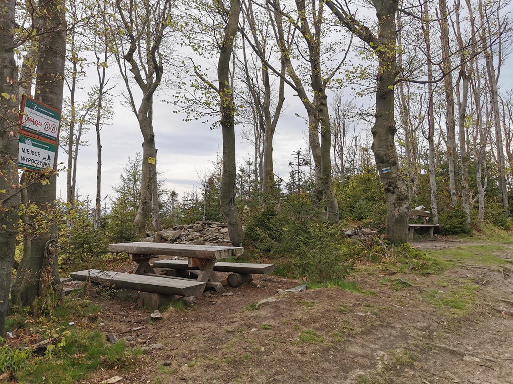
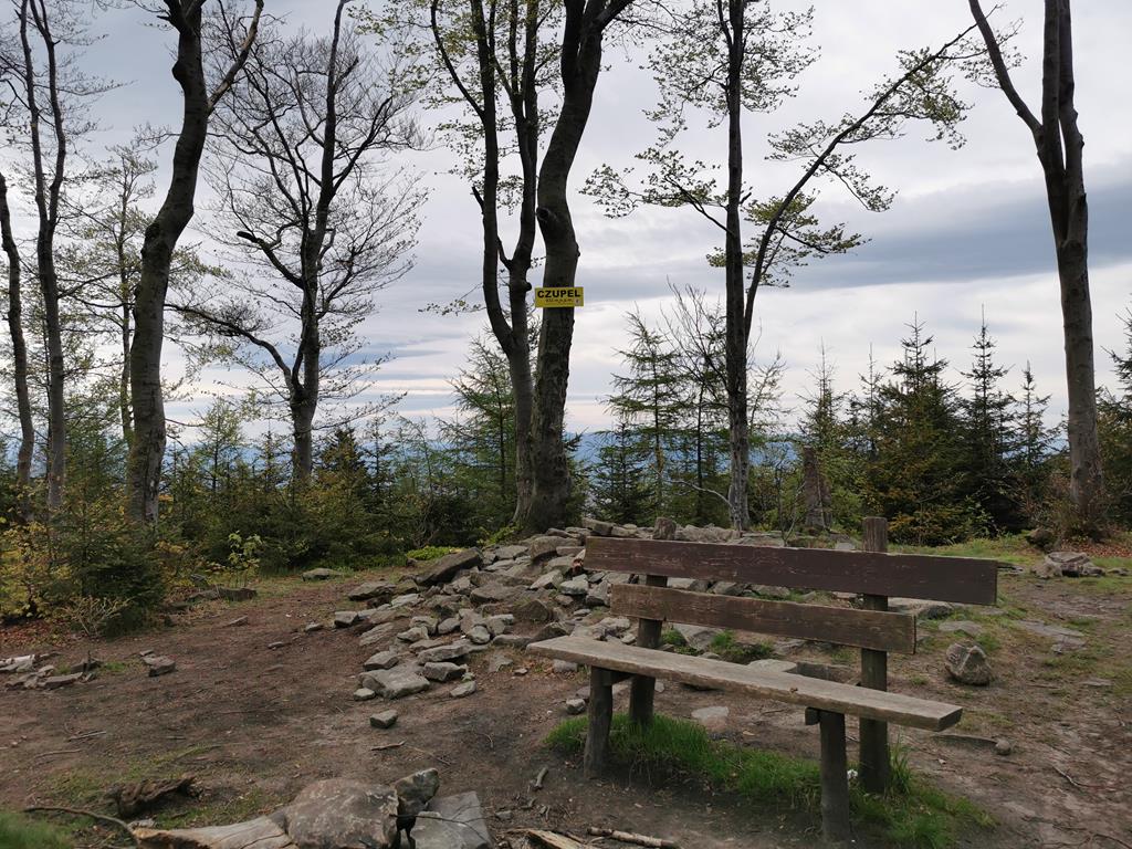
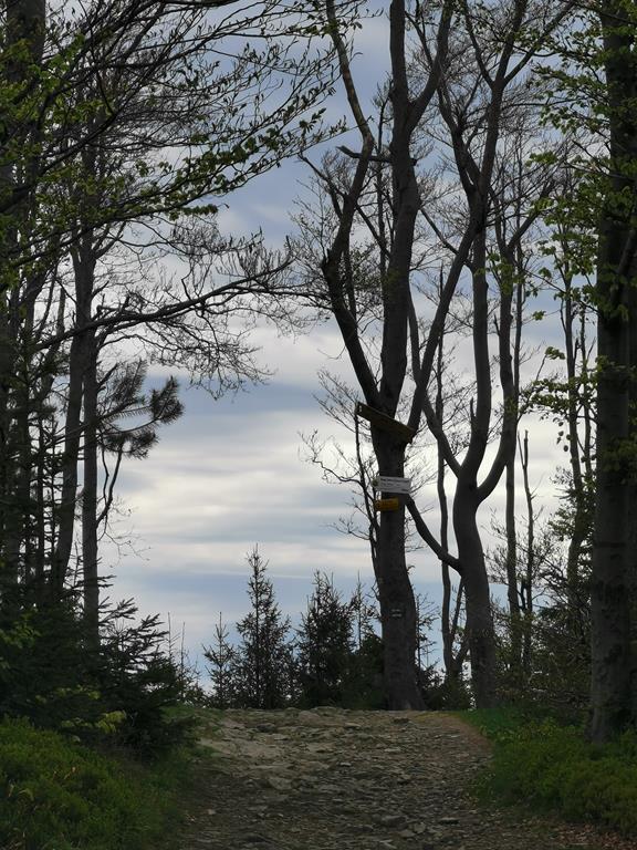
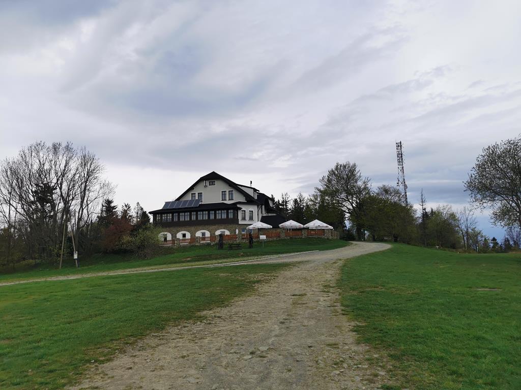
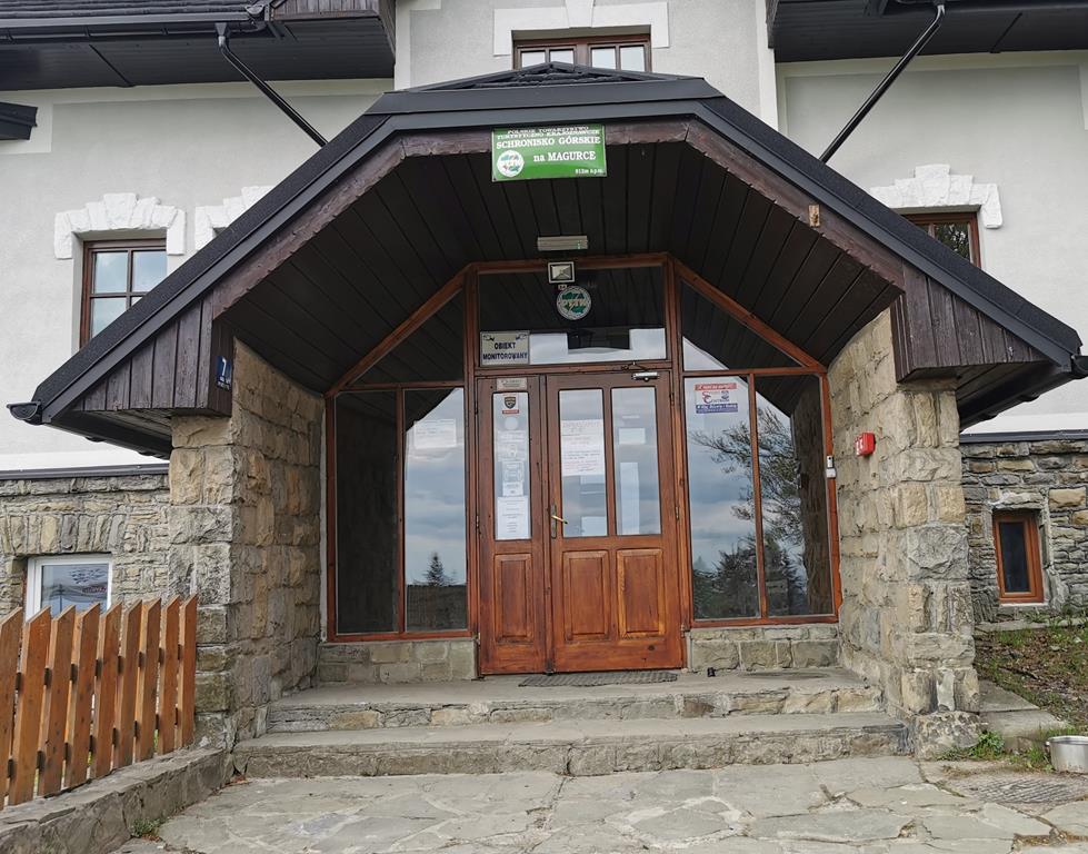
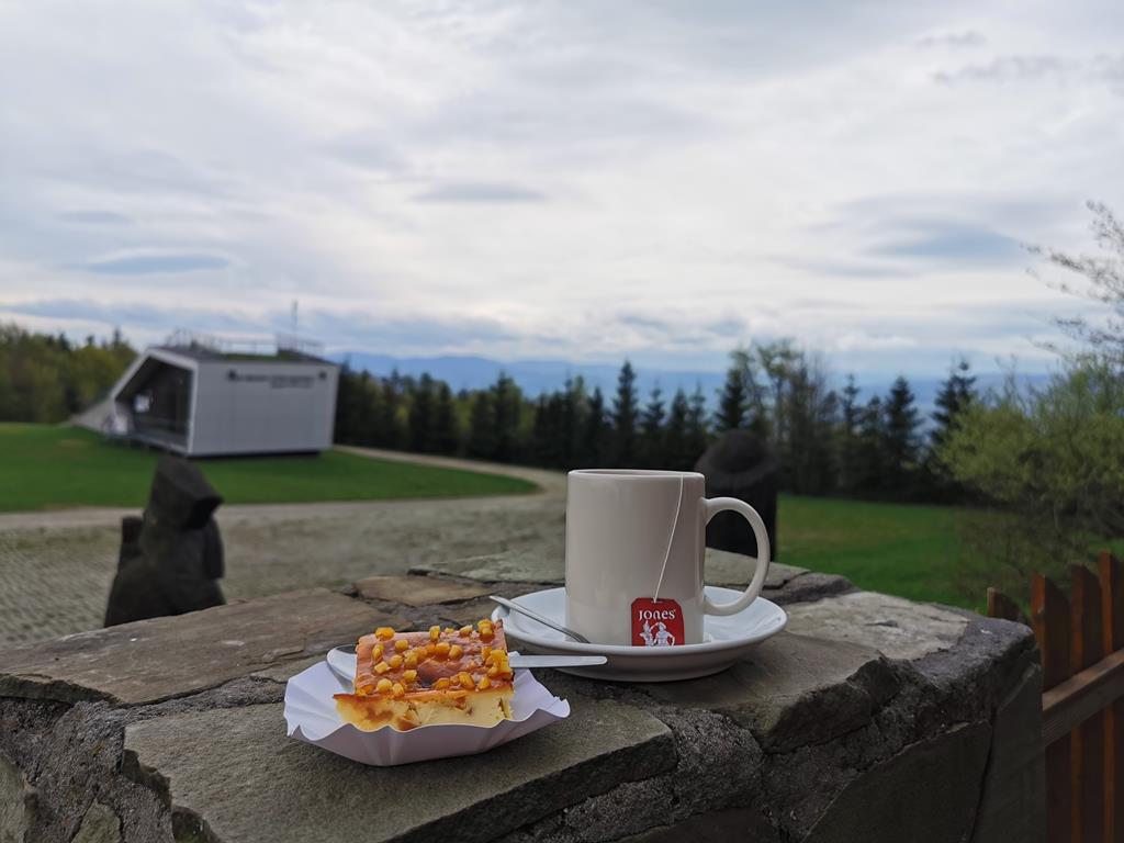
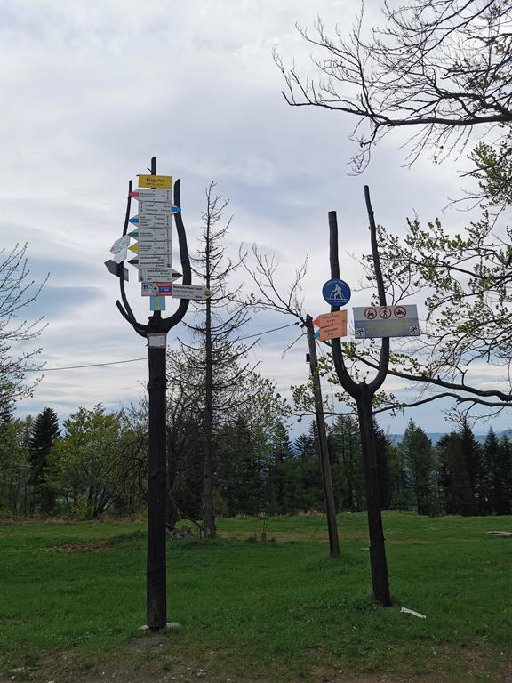
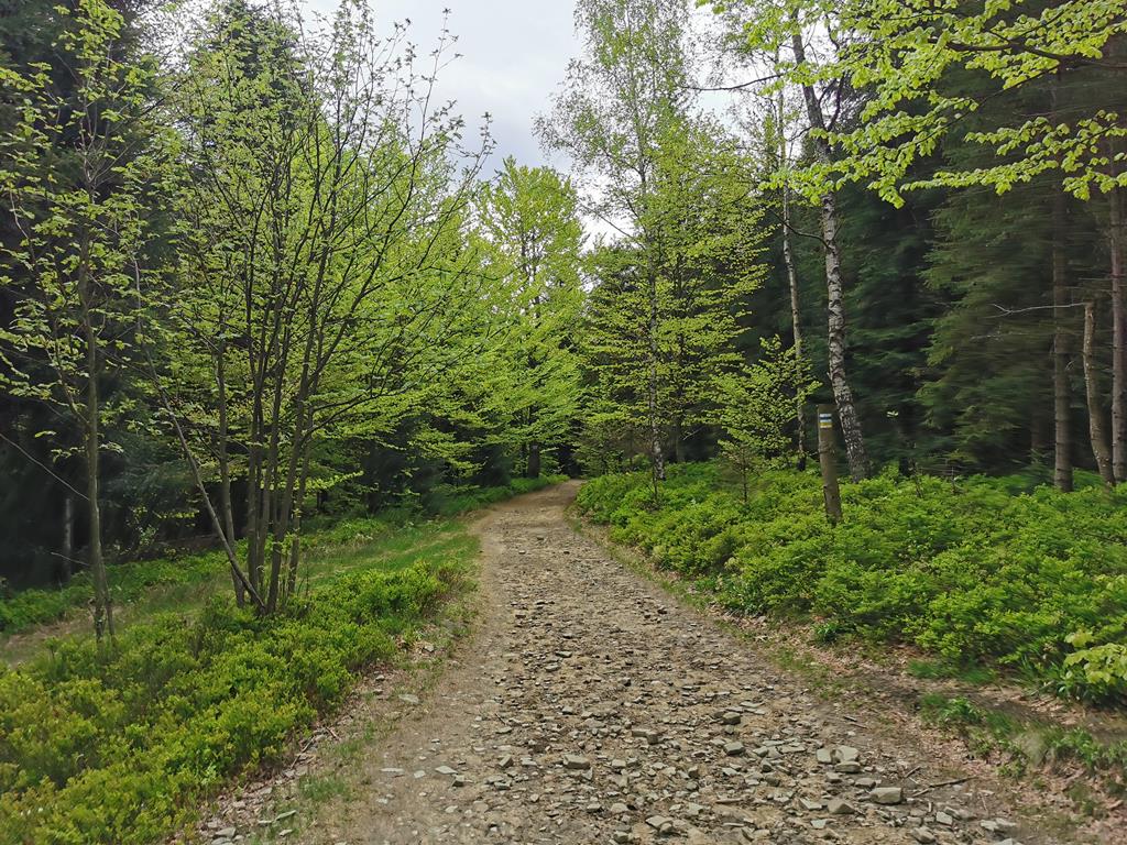
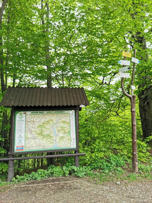
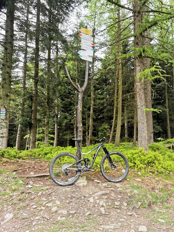
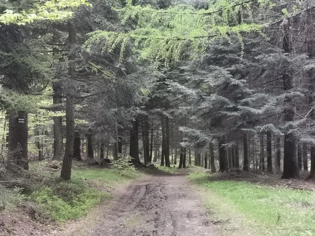
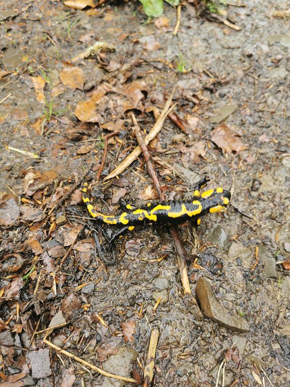
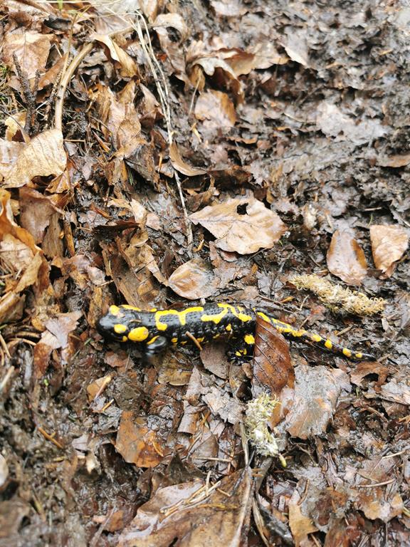
We start our hike in Międzybrodzie Bialskie near the bridge over the Ponikiew River - on Żywiecka Street, we will find a trail sign that guides us along the red trail. Motorists can park their cars nearby, at the parking lot by St. Mary Magdalene Church. We quickly leave the asphalt road and enter the forest. Immediately, we see the steep approach ahead of us; after all, over a distance of 3.5 km, we face about 600 metres of elevation gain. It’s wise not to impose too fast a pace in the initial meters. The trail leads along a wide forest road, occasionally stony. Upon reaching Przełęcz pod Czuplem, we abandon the red trail and continue on the blue one towards the summit. What will we see when we finally reach the longed-for Czupel? Unfortunately, not much. The summit is covered with forest; however, due to recent logging and storm winds, there are definitely fewer trees at the top. Thanks to this, we can see the peaks of the Silesian and Żywiec Beskids peeking through the beech trees. At the site, we will find wooden benches with tables, where it's worth resting before continuing our journey. We head further down the blue trail towards PTTK Shelter at Magurka Wilkowicka. Now our legs can take a moment to rest; the wide forest road leads us gently downwards, and the beautiful views of the surrounding peaks and clearings make our hike more enjoyable. At the shelter, be sure to try the delicious cheesecake and “Żebroczki”, which is a type of potato cake with bacon. While resting on the wooden terrace, we can admire the view of the Żywiec Valley. Below the shelter, there is an intersection of trails, so be careful to avoid getting lost when setting off again. We continue on the blue trail towards Przełęcz Przegibek – here we need to be cautious as we briefly walk along a busy asphalt road. Fortunately, we soon leave it behind and continue our tranquil walk through the forest on the blue trail. Ahead of us lies the last 150 metres of elevation gain as we reach the junction of trails at the summit of Gaiki 808 m above sea level, where we turn onto the green trail, which takes us through a very picturesque forest. We descend quite steeply here, so it’s good to be cautious as the trail can be muddy in places. Ahead lies the final fork: Nowy Świat, where we return to the blue trail; it's important to watch your step - the trail is very damaged, and we follow it back to our starting point.
Author of the text and photos: Ewa Bandyk


")
")
")
")

")
")