
Mountain Trails [#16] - Klimczok
![Mountain Trails [#16] - Klimczok](/images/Gorskie_Szlaki/Klimczok/IMG_20210410_153416_Copy.jpg)
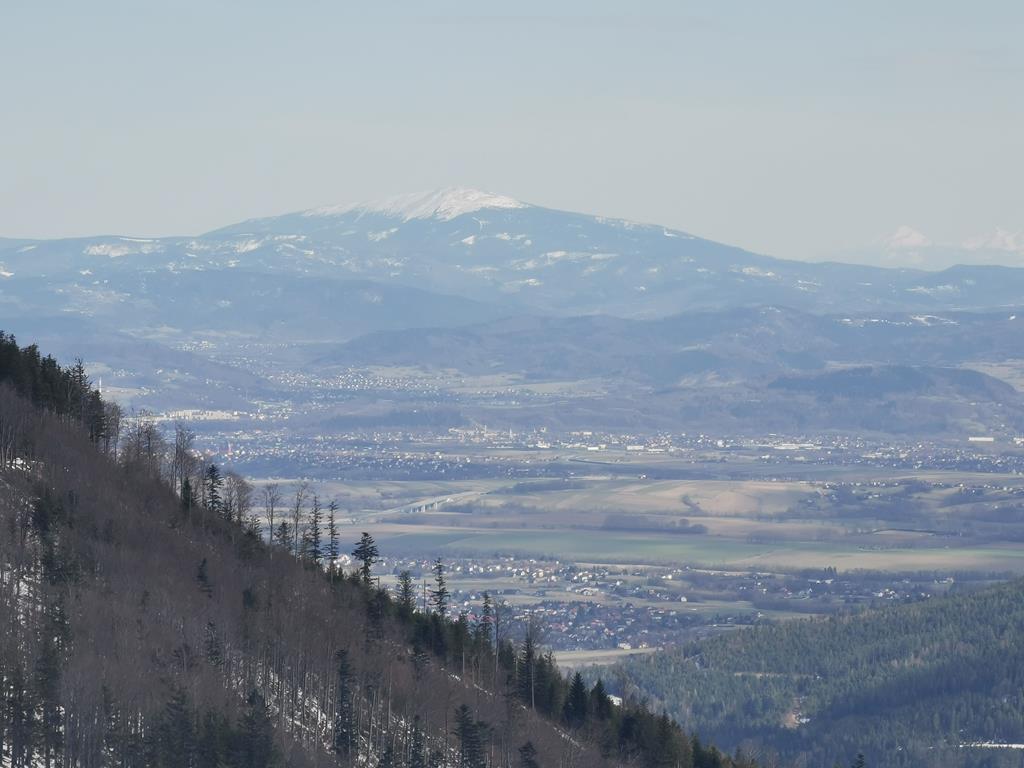
In the Silesian Beskids, the must-visit peaks are Klimczok (1117 m above sea level) and its lower companion – Szyndzielnia (1026 m above sea level). These two summits are among the most interesting places on the hiking map of the Silesian Beskids. They are a great option for both tourists who enjoy the challenge of hiking to the top – after all, over a distance of 8 km, we gain almost 800 m in elevation – and for those who value comfort, as they can practically take a cable car to Szyndzielnia and only face the challenges of the hike when approaching Klimczok. What attracts both types of hikers are the views, which provide a wonderful reward at the summit.
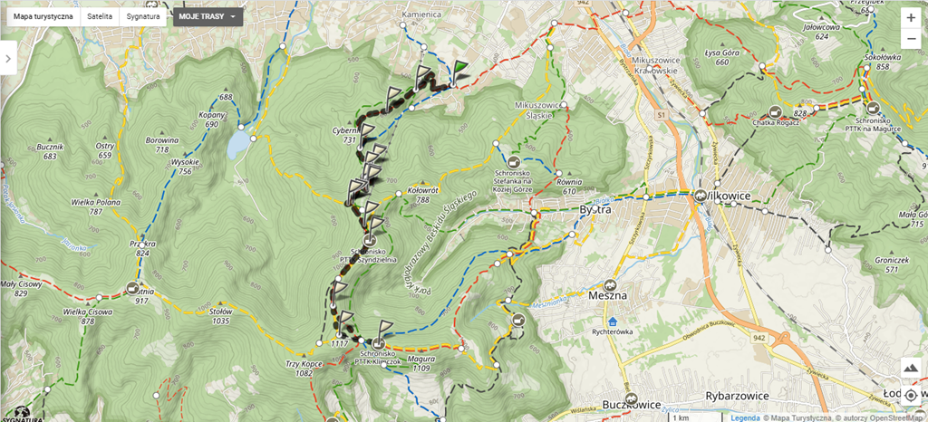
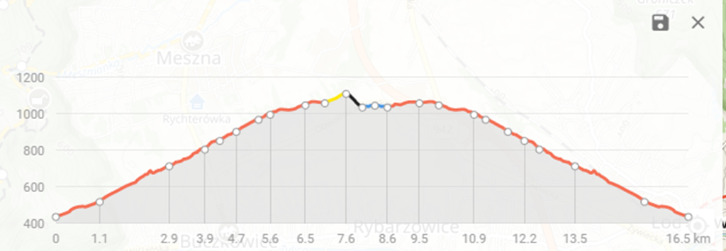
One of the simpler options to reach the summit of Klimczok is to follow the red trail. The expedition begins and ends at the Pod Dębowcem parking lot in Bielsko-Biała.
- The walking time is around 6 hours, depending on the hiker's fitness level,
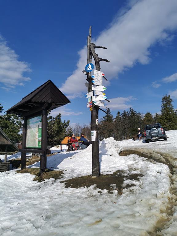
- The route is mostly on the red trail, with a deviation to the yellow, black, and blue trails near the summit,
- The total elevation gain is 770 meters,
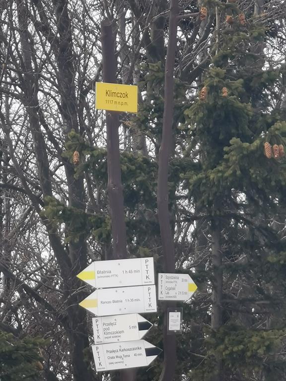
- The highest point is 1117 meters above sea level,
- Trail length: 17 kilometres,
- No difficulty, no artificial aids, and the trail is well marked.
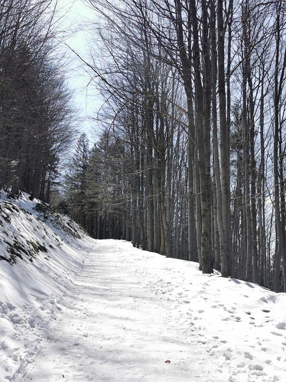
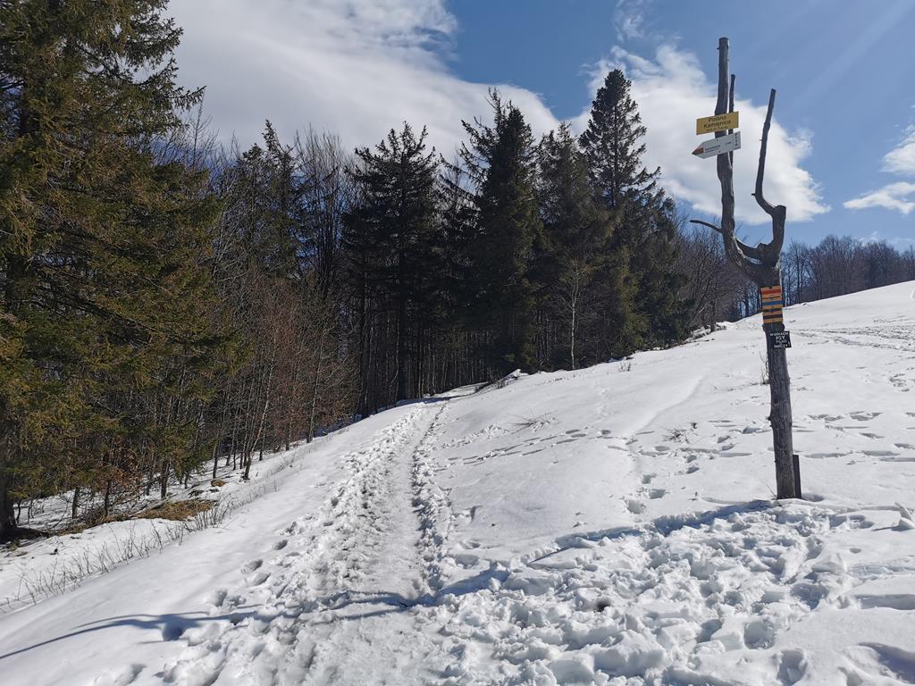
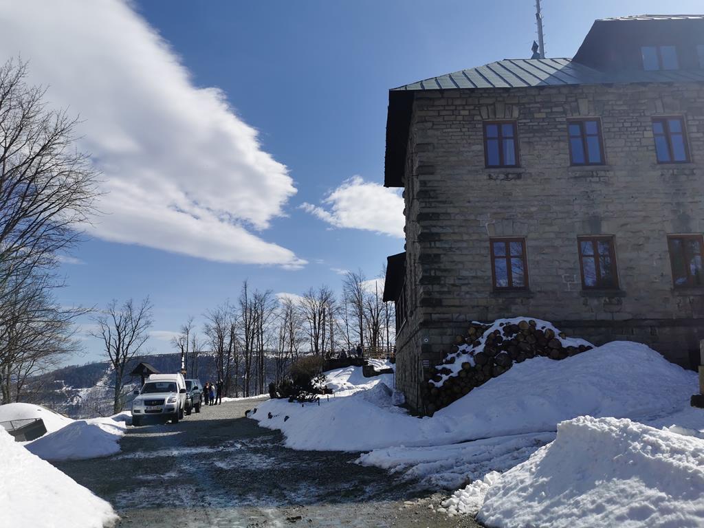
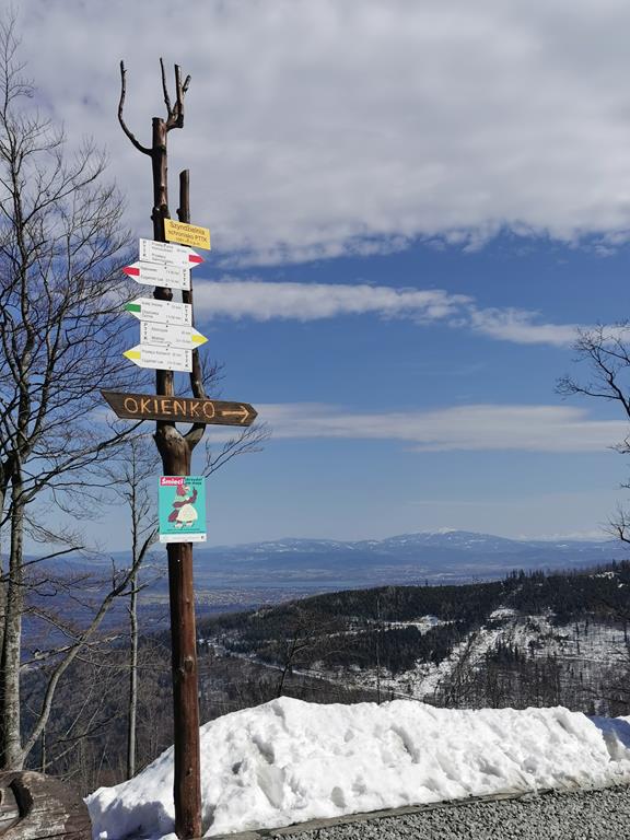
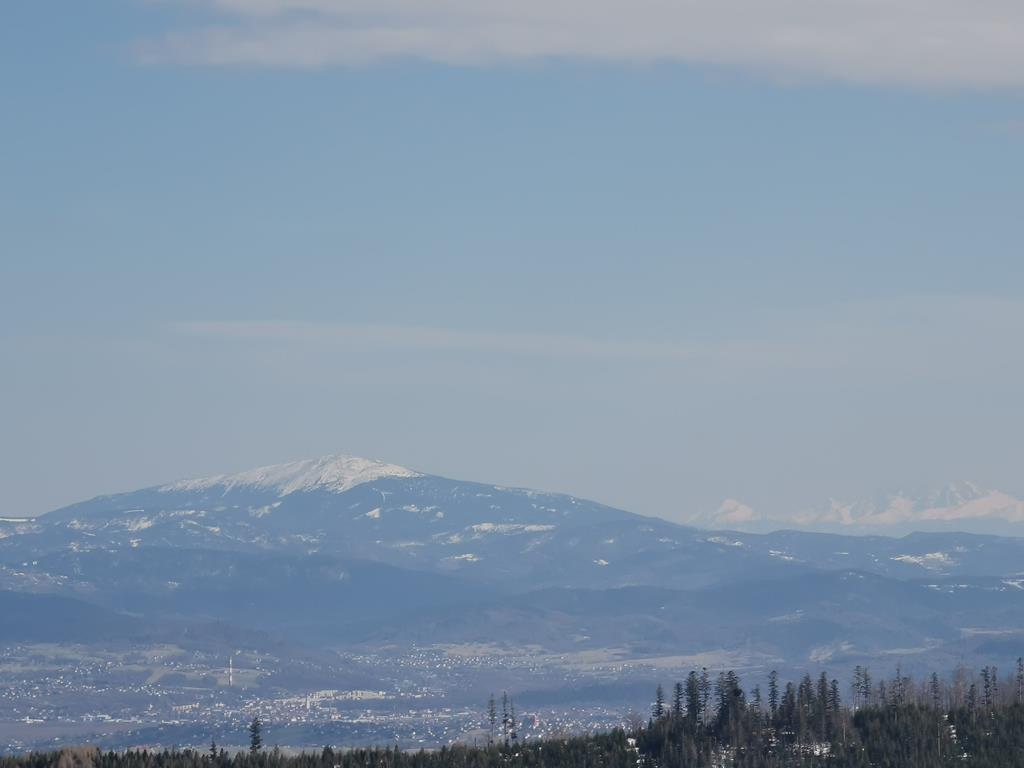
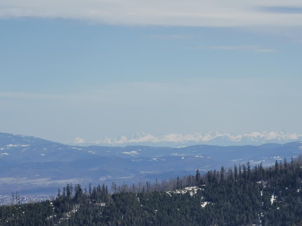
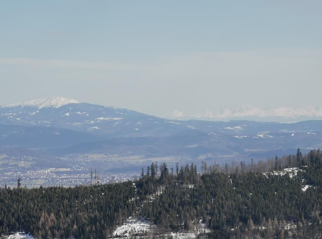
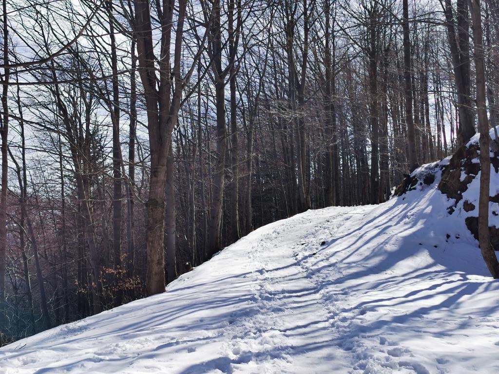
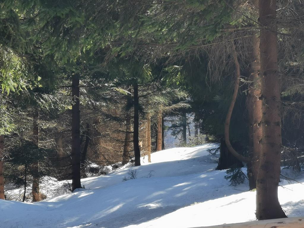
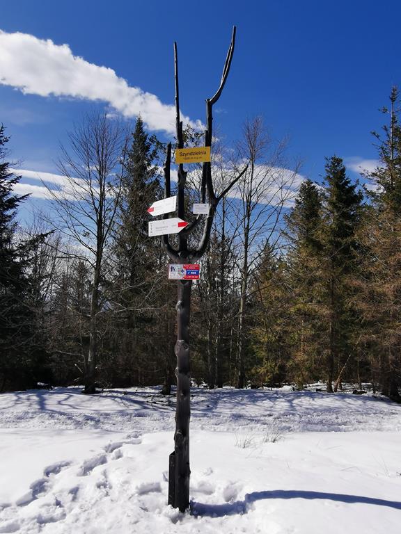
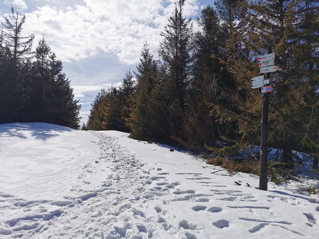
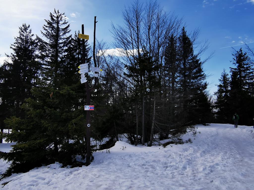
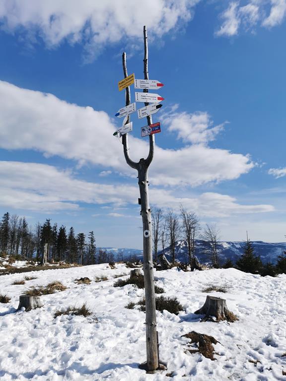
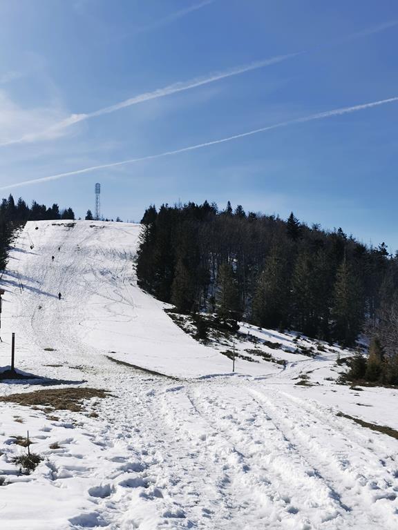
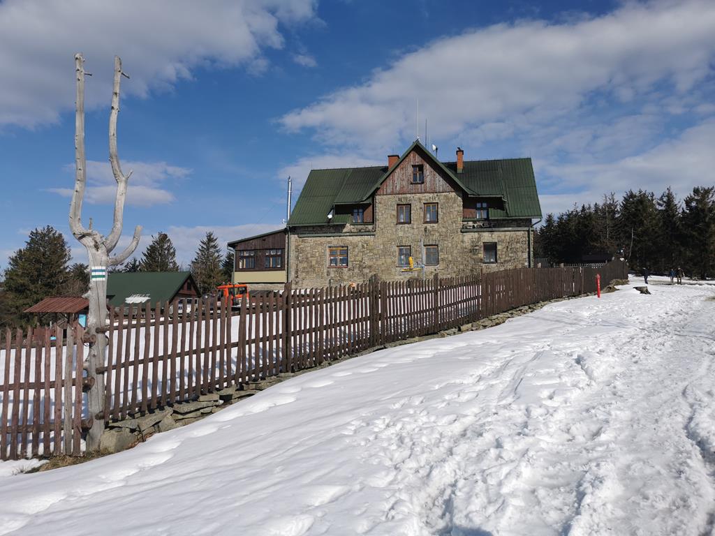
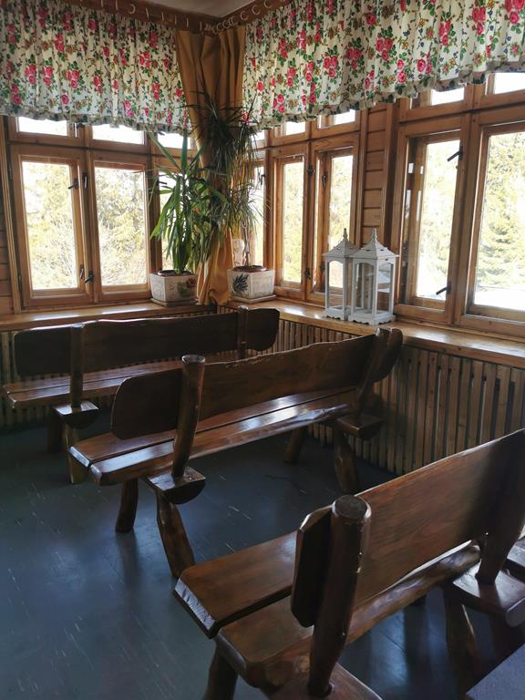
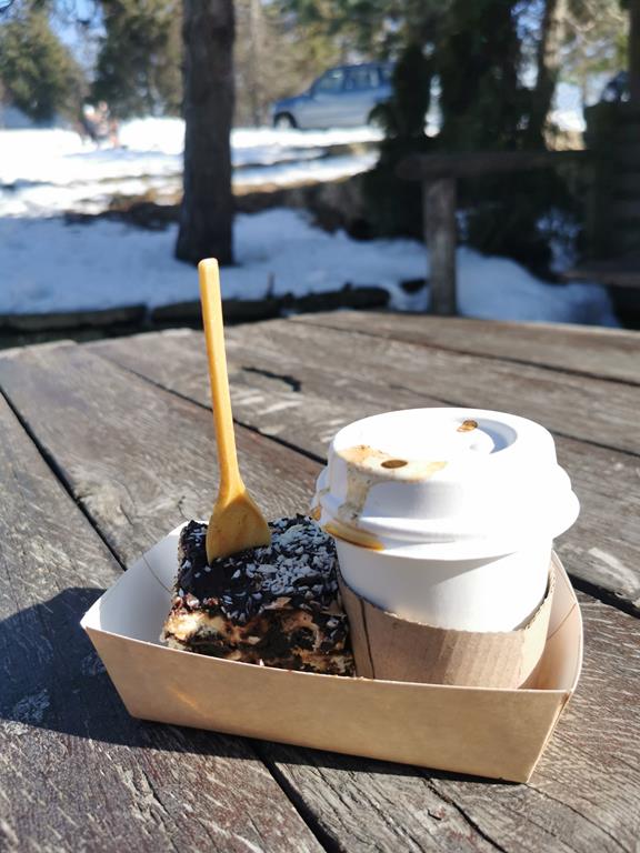
The starting point is the Pod Dębowcem parking lot, which is a great option for those driven by car. From the parking lot, we head a few meters to the right and we are already on the red trail leading to the summit. The first notable point of our hike is the PTTK Dębowiec Shelter, near which lies a beautiful wooden chapel of Our Lady of Fatima and the Fatima Children. We continue laboriously along the red trail, which occasionally intersects with the green one; if we mistakenly start to follow it, we can be assured that the trails will reconnect. Climbing 600 meters in elevation, we trek along a comfortable and fairly wide path among beech trees, spruces, and firs, until we finally reach the PTTK Szyndzielnia Shelter. A brief break here is worth taking to enjoy the views, which were limited by the forest during the hike. Without delay, we continue along the red trail – above the shelter, the peak of Szyndzielnia awaits us. An interesting fact is a certain inconsistency regarding its height – this can be noticed on maps that indicate 1028 m above sea level and on the sign at the summit, which shows 1026 m above sea level. We are only 1.5 km away from Klimczok. Here is an important piece of information: we need to carefully follow the trail markings. At the junction of the red and yellow trails, we turn onto the latter. Why? By following it, we will ascend very gently straight to the summit of Klimczok, without having to tackle a steep ascent from the shelter. Upon reaching the coveted peak, a panorama of the Silesian Beskids unfolds before our eyes, including its highest peak, Skrzyczne. Furthermore, we can see the massif of Babia Góra and the Tatra Mountains. We descend the black trail steeply down towards the PTTK Klimczok Shelter, where delicious potato pancakes and plum cake are served. In front of the shelter, we find numerous benches with tables and gazebos. It is worth mentioning that there is a ski lift to Klimczok. From the shelter, we return a dozen meters along the blue trail to once again reach the familiar red trail, which we will follow back to the Pod Dębowcem parking lot.
Author of the text and photos: Ewa Bandyk

")
")
")
")

")
")