
Abandoned Porphyry Mine in Miękinia
Urbex
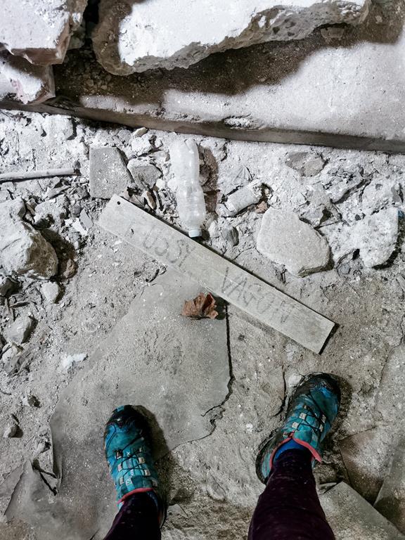
For those who are unfamiliar with the concept of urbex, let me explain. Urban exploration – which is what this is about – is shortened to the term urbex or the acronym UE, and it refers to the exploration of inaccessible, often unseen parts of our civilization. It is important to adhere to the principle of exploring such places by leaving them exactly as we found them. Very often, urbex locations are abandoned buildings that are primarily vandalised by the local population. Therefore, explorers should be aware of hazards such as broken glass, falling ceilings, rooftops, or floors. Abandoned hospitals, factories, amusement parks, or mines are commonly chosen as destinations for these expeditions.
Abandoned Porphyry Mine in Miękinia
The remnants of the non-operational mine can be found in the village of Miękinia in Lesser Poland. Porphyry has been extracted here since the 18th century, initially just for the needs of the local residents, but by the 19th century, the scale of extraction had significantly increased. The quarry was visited in 1787 by King Stanisław August Poniatowski himself. An interesting fact worth mentioning is a local law introduced with the arrival of mechanisation in the mine – stealing extracted material from the quarry was punishable, but everyone was allowed to legally take what had fallen to the ground from the carts. Since 1972, the extraction of porphyry has ceased, and the mine was officially closed in 1972. `
What can we find there today?
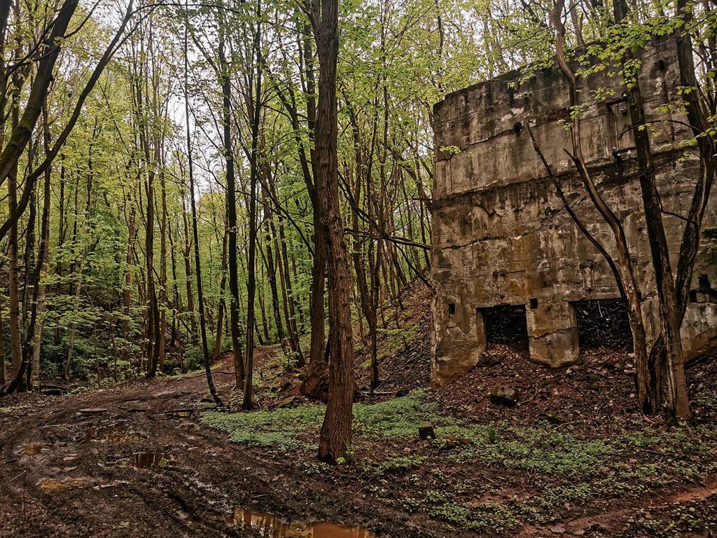
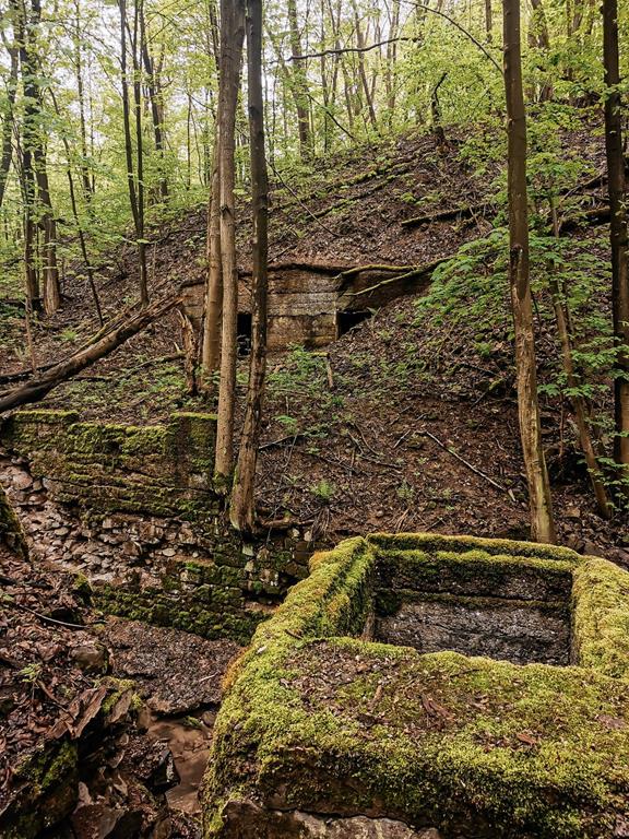
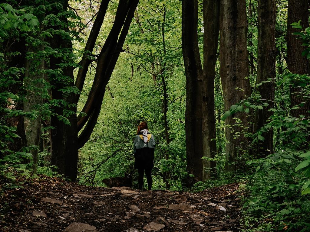
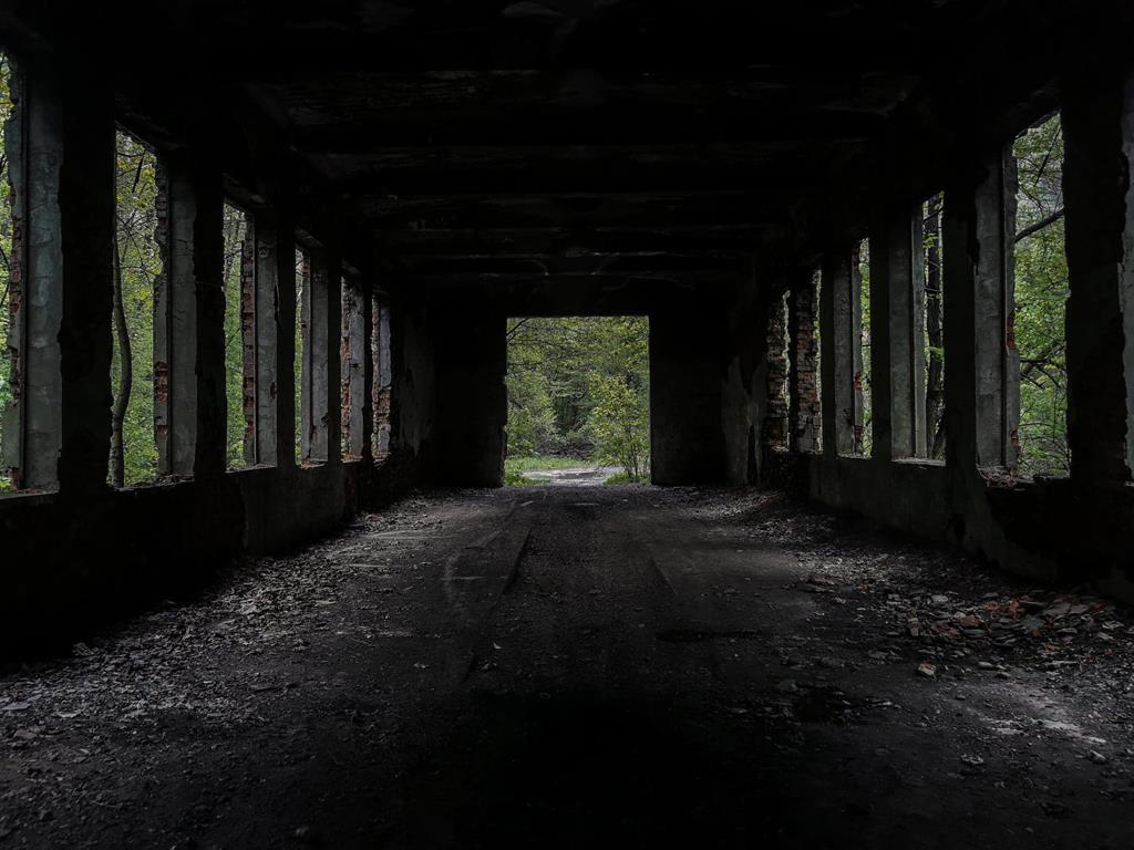
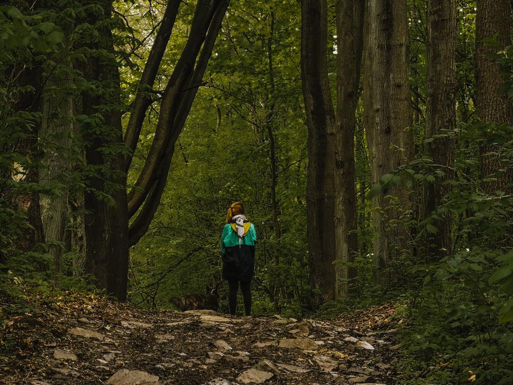
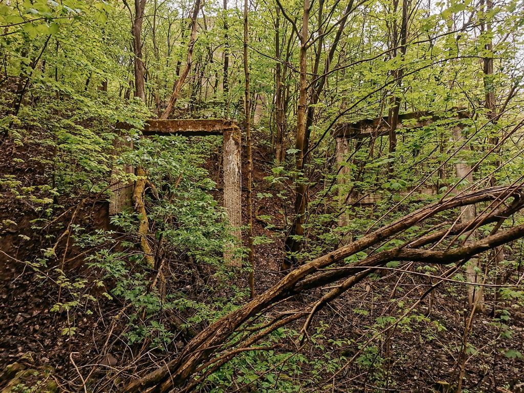
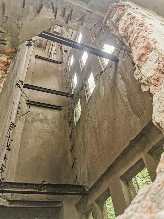
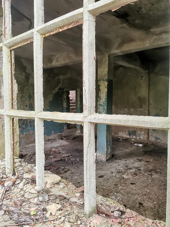
The time since the closure of the facility has been marked by vandalism and the rapid takeover of the processing plant by nature. Since the mine is scattered throughout the forest, and the buildings are vacant with no access to higher floors, it serves as an ideal destination for initial attempts at casual, low-pressure exploratory outings. A dirt road leading to the former mine starts near the AGH Training and Educational Centre building. We wander along winding serpentines, crossing the path of the former narrow-gauge railway. As we walk through the forest, we can see: a locomotive depot, buildings for primary and secondary crushing, sorting buildings, a steam engine building, and generators. The huge, abandoned structures emerging from the trees and underbrush are quite an unusual sight worth photographing. The concrete pillars from the conveyor belt make a significant impression. If we are willing to venture deeper into the forest, we can look for an old ammunition depot.
Where to look for information?
As there are no specific trails through the former mine area, it is advisable to rely on a few links with maps that will definitely facilitate our exploration.
1. https://www.miekinia.eu/150-lat-kamieniolomu-w-miekini/#lokalizacja - the website of the Green Energy Association of Miękinia, where we can find the complete history of the quarry, and most importantly, a map with very precisely marked and described buildings of the mine. It is worth taking a look at numerous old photographs that show how the extraction facility has changed over the years.
2. https://goo.gl/maps/XYoYaWJLCCht91sB8 - Google Maps pin marking the mine area.
3. https://g.page/MiekiniaAGH?share – Google Maps pin marking the AGH Training and Educational Centre building.
Author of the text and photos: Ewa Bandyk


")
")
")
")

")
")